Places - Creation
Modal supports flexible coordinate formats, Google Maps place links, and Provider API autocomplete (API key required for Google Maps API).
Creating a place is done through the place creation modal.
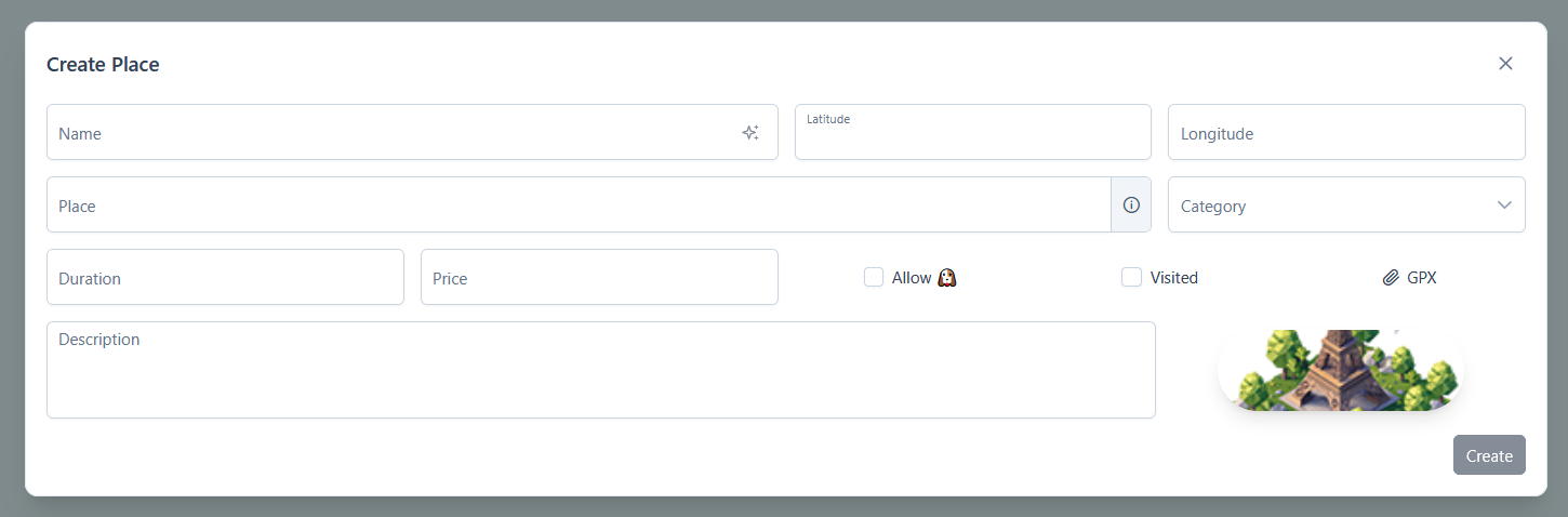
A place contains the following informations:
name: the place's namelatitude: latitude coordinates (supports multiple formats)longitude: longitude coordinatesplace: address or identifier (supports GMaps place link)category: a label to categorize the placesimage: optional image to display in the mapduration: optional duration in minutes (e.g.,90)price: optional pricedescription: optional description (links will be auto-clickable)dog-friendly: optional boolean indicating if dogs are allowedtoilets: optional boolean indicating if dogs are allowedvisited: status indicating if the place has been visited (controls default visibility)gpx: optional GPX file to display trace on the maplinks: optional links dedicated section
You can script places creation and import various exports to automatically create them.
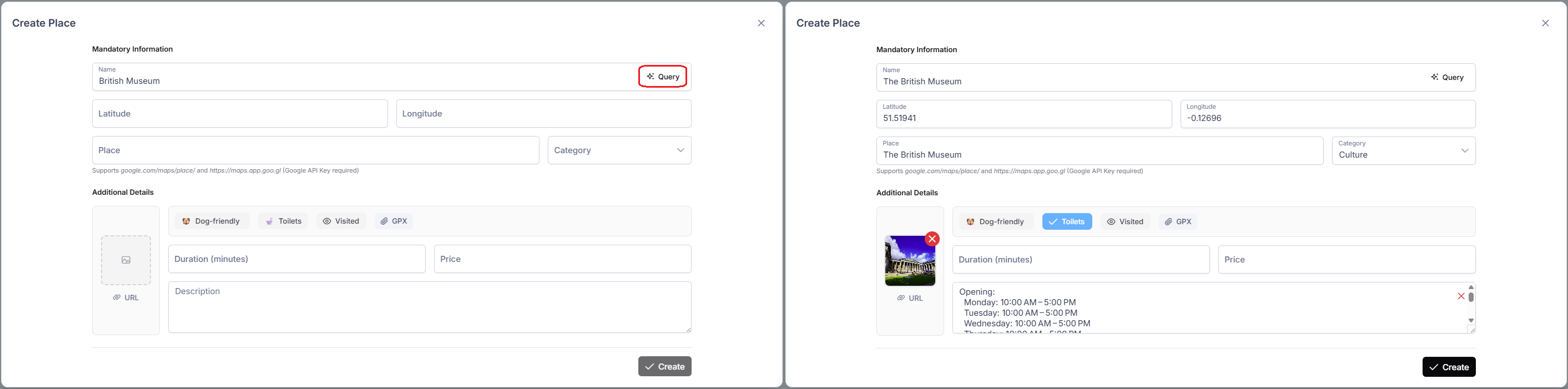
Provider API Autocompletion
The selected provider can be modified in your settings. If you use Google Maps, you must add your Google API Key .
You can use the shortcuts Enter to run the completion and Ctrl+Enter to confirm the modal (if there is no missing field). Works for every modals.
After entering a name, you can autocomplete the other fields by clicking the button inside the input area. Google is the most complete provider, providing opening hours, image and more.
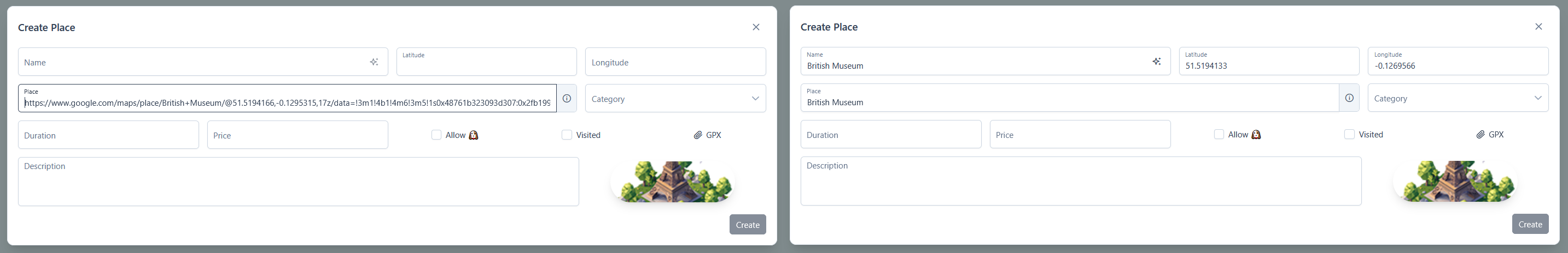
Google Place Parser
You can paste a Google Maps place link (https://www.google.com/maps/place/XXX) into the place input to automatically populate the name, place, latitude and longitude fields from the link content.
If your selected provider is Google API and Google API Key is set, you can also paste short link (https://maps.app.goo.gl/XXX) into the place input
Latitude, Longitude Parser
The latitude field is flexible and supports multiple LatLng coordinate formats, like:
37.7749, -122.419437.7749° N, 122.4194° W37°46'29.64" N, 122°25'9.84" W37°46.494' N, 122°25.164' W
It also supports full* Plus Code (e.g., 849VCWC8+R9).
Only full Plus Codes are currently handled. The + sign is added after eight characters for full codes (e.g., 849VCWC8+R9) and after the four characters for short codes (e.g., not full: V75V+9Q).