Settings
Customize your app experience, manage categories, make backups, enable TOTP, and more.
Changes you make will only affect your personal account and will be applied immediately.
About
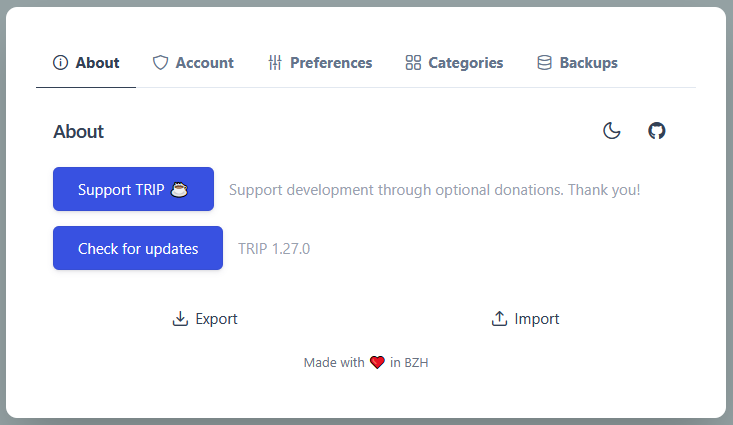
About section has shortcuts to documentation, to contribution to support TRIP development, to the data tab or to the admin UI (if user is admin).
Language can be updated using the world globe button.
When toggling dark mode, if the map tile provider wasn't changed manually, it will automatically update to the corresponding dark or light version.
Account

The Account section handles two topics: Security and Integrations.
- Update your password, enable Two-Factor Authentication (TOTP) for enhanced security.
- Select your default provider, set your Google API Key to access Google API features within the app, and generate your TRIP API Key for scripting. To receive notifications from checklist items, you can set an Apprise URL (see Apprise documentation for supported services).
Preferences
In Preferences, you can set your default map parameters, such as the initial latitude and longitude, and choose your preferred tile layer provider. You can also update the currency setting to suit your regional or personal preferences.
Before version 1.49.0, TRIP used the CARTO provider. They recently discontinued free-tier support and now require a free API key. This is why OpenStreetMap (the best ❤️) is now the default tile provider.
When I contacted CARTO, they responded:
I appreciate your predicament, truly, however we are a profit organization and had a spike in basemap usage due to AI applications that is costing us directly. We can't provide a free key for your open-source project.
Several other providers offer free API keys online. The advantage is that you can customize the maps (label language, topography, etc.), but the drawback is that registration is required.
- Stadia Maps (URL format:
https://tiles.stadiamaps.com/tiles/alidade_smooth/{z}/{x}/{y}{r}.png) - Geoapify (URL format:
https://maps.geoapify.com/v1/tile/positron/{z}/{x}/{y}.png?apiKey={apiKey}) - CARTO (URL format:
https://basemaps.cartocdn.com/rastertiles/voyager/{z}/{x}/{y}.png?key={apiKey})
Sorry for the inconvenience, I'm affected by this too, and it's out of TRIP scope.
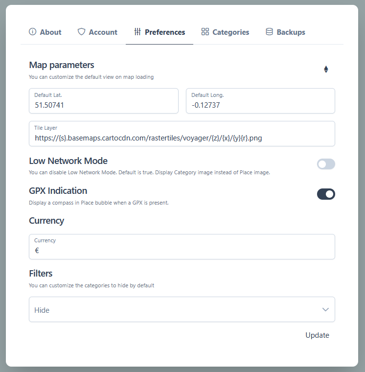
-
Low Network Mode: Enabled by default, this mode displays category images instead of individual place images to reduce network load by avoiding multiple picture downloads.
-
GPX Indication: Disabled by default. When enabled, an icon appears in the place bubble if a GPX file is associated to that place.
-
Show Visited Places: Disabled by default, always display visited places as small dots.
-
Store Map Position: Disabled by default, encode map position in the URL to restore the same view on refresh.
-
Dog-Friendly tag: By default,
dog-friendlytags are showed. Disable to hide them. -
Filter Default Categories: By default, no categories are hidden. You can customize this to automatically hide certain categories and reduce map clutter.
Categories
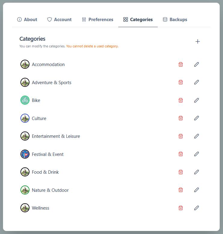
Manage and customize your place categories in this section. Categories help you organize and filter your points of interest on the map for easier navigation.
A category consists of a name, a color, and optionally an image.
You can edit, delete, or create new categories. Upon registration, the default categories are:
- Nature & Outdoor
- Entertainment & Leisure
- Culture
- Food & Drink
- Adventure & Sports
- Festival & Event
- Wellness
- Accommodation
Data
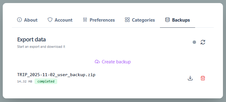
The Data section allows you to save and restore your data, ensuring your places, trips, and preferences are safely stored and recoverable when needed.